La "Stratégique" - Diba / Ra's Al-Khayma
En 70 kilomčtres, de Diba ŕ Ra's Al-Khayma, la
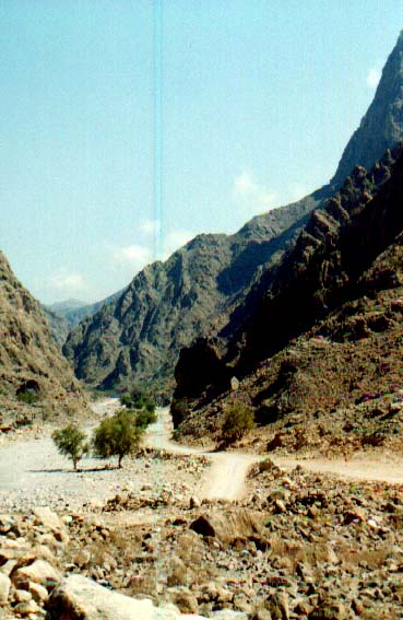
"stratégique" permet de passer de la mer d'Oman au Golf Persique. Cette piste
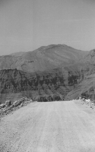
trčs caillouteuse offre des paysages impressionnants. Le chemin est quelquefois fort
aérienne, certains se cachent męme sous les sičges en attendant d'arriver sur le
plateau!
Located in the northernmost part of UAE and Oman's
Musandam, this route leads to some of the highest peaks of the Arabian peninsula. As you
progress from Diba, the track gets steeper and the beautiful sight of narrow canyons and
high mountains gives way to a long panoramic view. At this point, the track gets so deep
that it zigzags up to the mountain. Low gear and careful driving is recommended. Then, the
track reaches its highest point, a plateau with a panoramic and breathtaking view of the
majestic Shihuh mountains... A perfect location for picnicking.
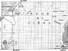
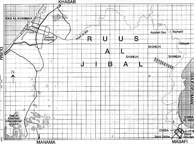
Carte / Map
|

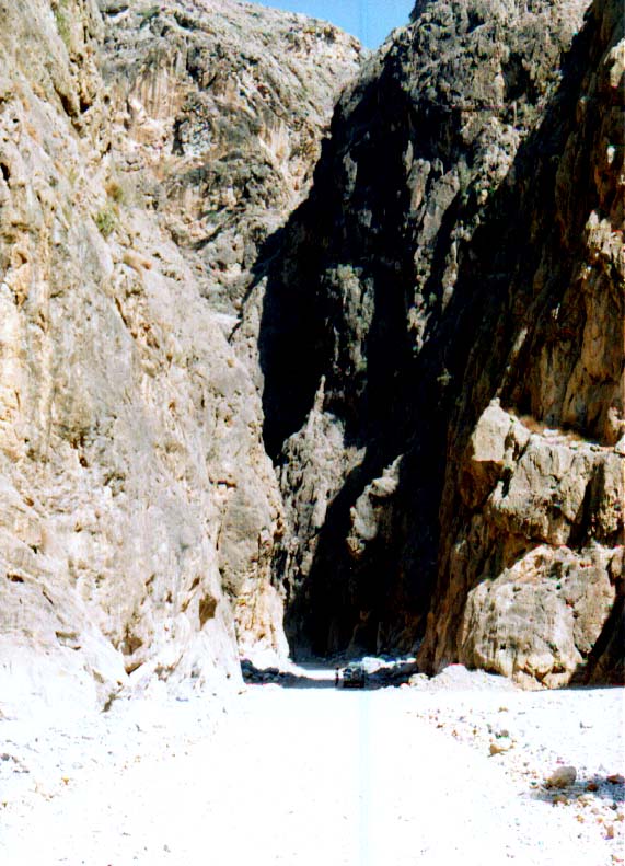
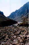
Le canyon
ID - oct 1998
|
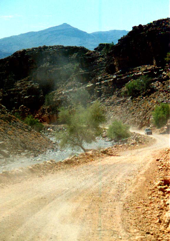
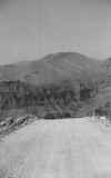
Vers le plateau
ID - oct 1998
|
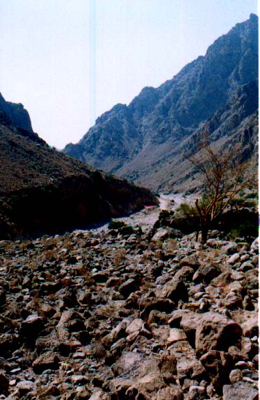
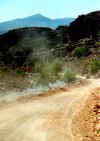
The track!
ID - oct 1998
|
| 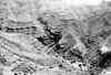
Un cours de géologie
ID - oct 1998
|
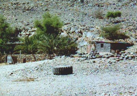
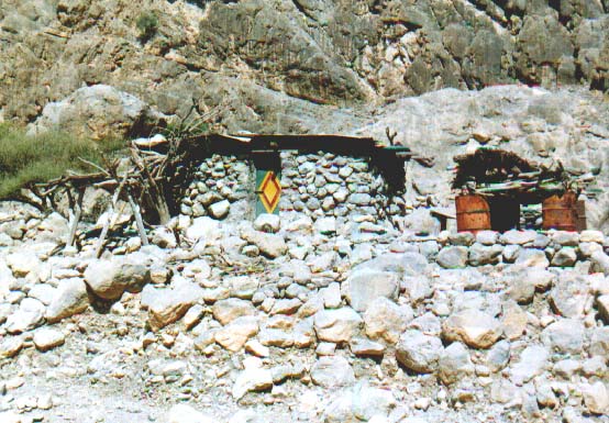
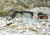
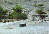 Habitats
ID - oct 1998 |
ID - oct 1998 |
Ready for a jump!
ID - oct 1998
|
| 
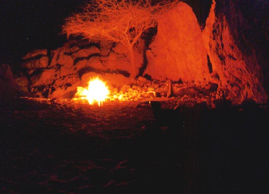
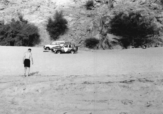
Un peu de chaleur aprčs la plongée
ID - oct 1998
|

Diba, the bay behind the sand dune
ID - oct 1998
|
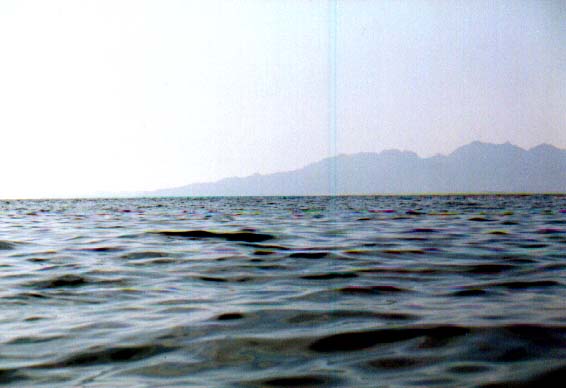
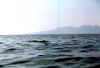 Gulf of Oman
ID - oct 1998 |

A tip : take your compass
ID - oct 1998
|